|
Ergaki is situated in the central part of West
Sayan. Length of the range (from the west to the east) is about
80km, maximal width is 70km. Ancient glaciers scored Ergaki massif
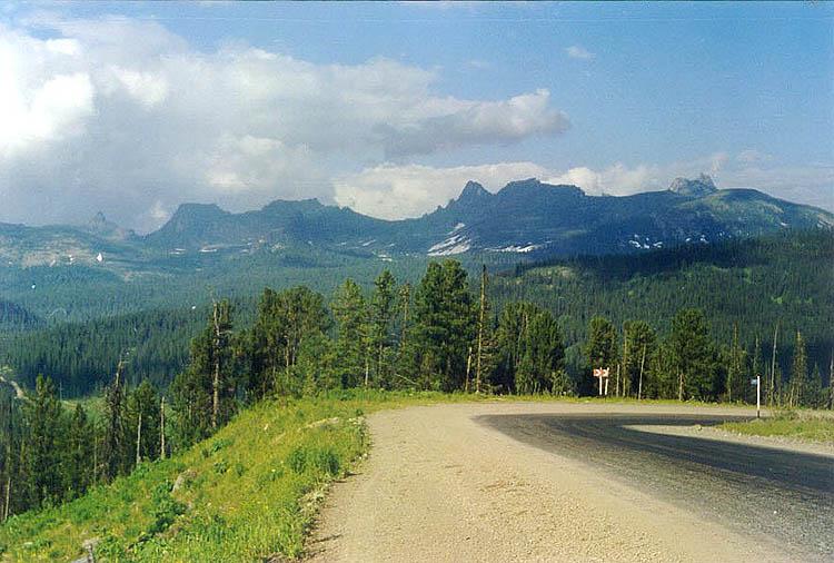
like wrinkles that carved the skin of an old man. The range has
a very broad net of ridges: Ergaki, Metugul-Taiga, Baldyr-Taiga,
Shepshir-Taiga. It is a unique part of Sayan, which was formed as
long ago as Caledonian folding. None of its valleys are alike the
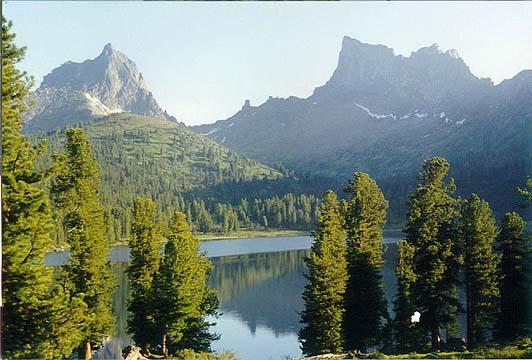
others; there are dozens of lakes and each has its own beauty. Each
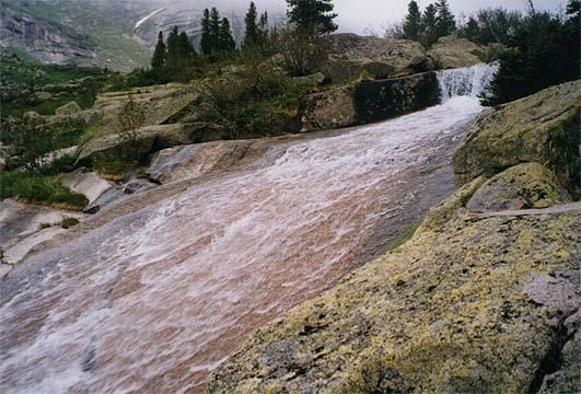
peak is of inimitable style. Hundreds of brooklets, brooks and rivers
pour life in this mountainous taiga terrain. The activity of ancient
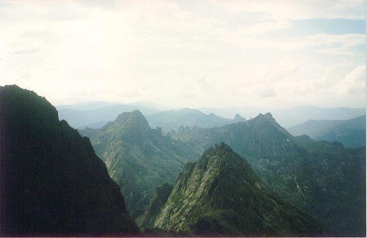
glaciers is most apparent in the west part of Ergaki. Summits there
have a shape of pointed peaks of more than 2000m height, difficult
(if ever possible) of access. North sides are all-covered with gloomy
corries with snow-intergelisols and corrie lakes. Cedar forests,
towering along riverbeds of south sides, are mixed with light alpine
and sub-alpine meadows. Small isles of the mountain tundra are dotted
all above the forest and meadows. Above all one can see the rock
pillars of residual mountains. Shape of these relics suggests spread
upwards fingers. It gave the name “Ergaki” to the region, what means
“fingers” in Old Turkic. These places abound with tales and legends,
for in the past, gods liked to rest there surrounded with stone
toys they brought from the four winds. “So often gods are clipping
wings and jape to petrify the beings”.
|