При вводе Логина и Пароля,
обратите внимание
на используемый Вами
регистр клавиатуры!


|
|
|
|
|
Подсказка
|
||
|
При вводе Логина и Пароля, обратите внимание на используемый Вами регистр клавиатуры! |
||
|
|
|
|
| Добро пожаловать ! | Войти в Клуб Mountain.RU |
 |
|
|
|
 |
|
Mountain photos - amateur
and professional photos of mountains.
|
| Adventure > |
|
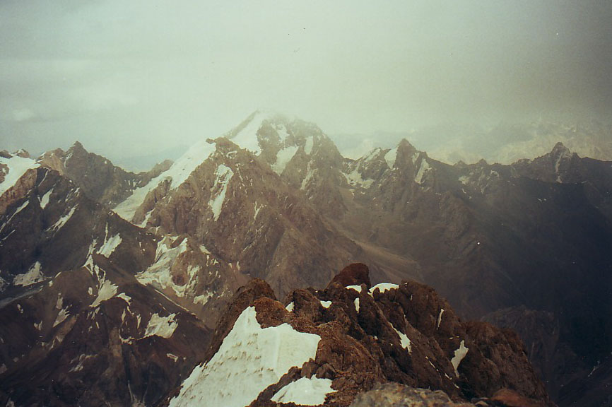
Author: Anatoly Dguly, Moscow, Russia.
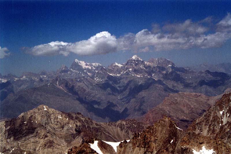
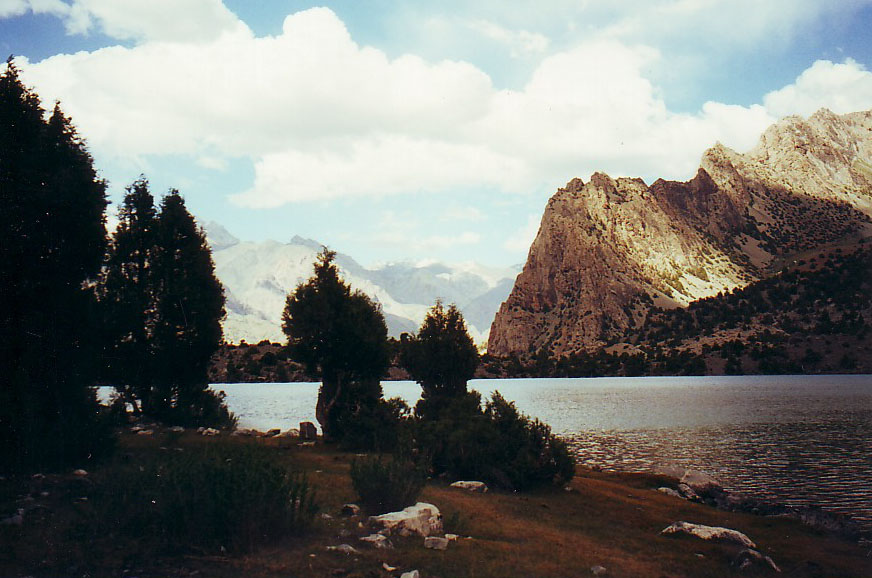
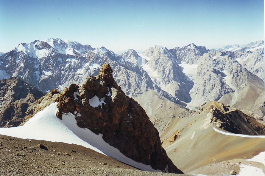
Fanskie Mountains (aka Fany). Review of the region
In my opinion it is a thankless thing to write about the Fanskie Mountains (also known as Fany). They have written a lot about them and the region has become well explored, but nevertheless… I'll try. May, this review will become useful for somebody.
Where?
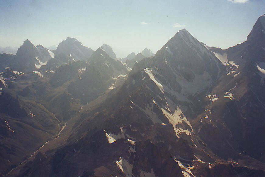
Directly the region of Fanskie Mountains , at any case, its “home-like” sport part, ends in the West with the series of Marguzor lakes, and in the East – with the road Dushanbe-Samarkand. The North border of the region – it is, in fact, the level of lakes Kulikalonskie and Alautdinskie (tourist have rarely gone to the north from them – there are only few reports, and only easy passes are described in them), and in the South the boundary area is the region of the lake Iskanderkul. Probably, for completeness of review it is also necessary to take the strip of Gissarsky range that is adjacent to the region of Fanskie Mountains in the south. In alpinism it may also have sense to add the Jagnobsky Wall (Zamin-Karor), that is located a little bit to the east along the river Jagnob, to the region we are examining. In any case, all the region, including the approaches, can be put in rectangle 90x65 kilometers, and from boundary points along the roads it doesn't exceed 50 kilometers . It produces some difficulties when building routes in the region and hard trips that don't include the Gissarsky range, appear, as usual very pared-down according to their mileage. First impressions.
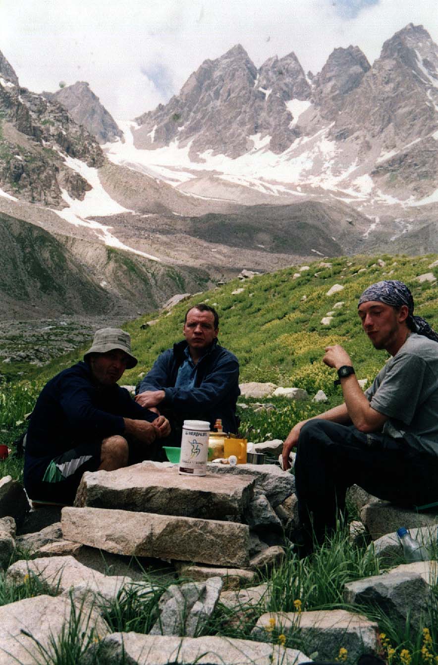
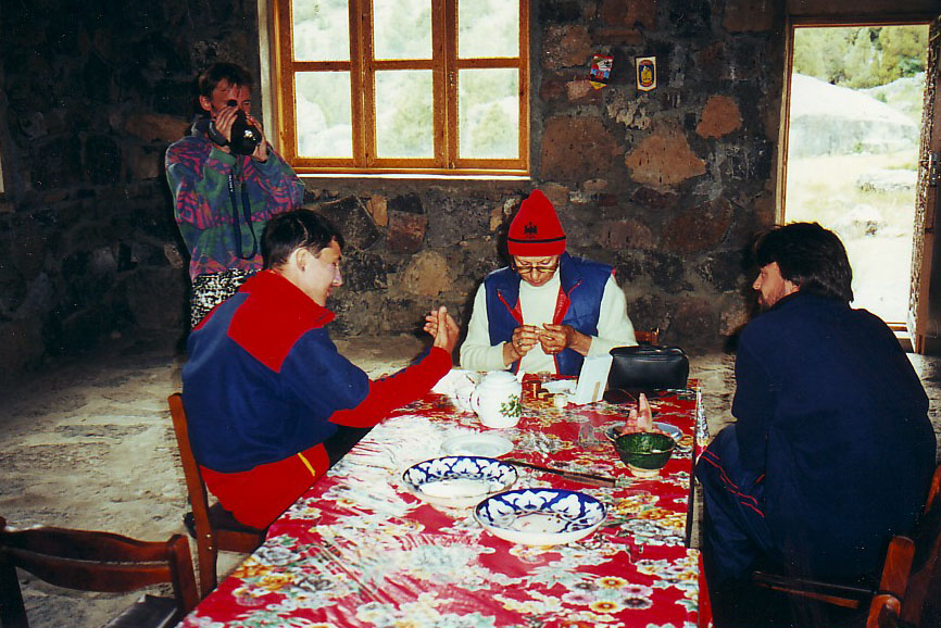
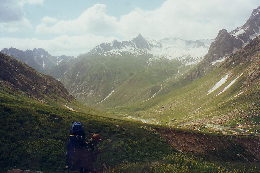
I visited the region of Fanskie Mountains in 1991, as the leader of a mountain hike of the 4 th grade of difficulty. In the end of June. Certainly, we had planned we would found ourselves in warm and Sunny Fanskie Mountains , but it was not to be. It was raining and snowing almost every other day – such was my first acquaintance with the region. I also remember unexpectedly great elevation changes along the canyons and long waterless strip along the river Zindon before coming out to the lake Big Hallo. All the hike long we were pressed by the lack of time (especially taking in mind the weather), as ten days after hiking in the Fanskie Mountains we had to go to the Tien-Shan, to the region of Khan-Tengri and Pobeda, where we also were going to be for the first time. So by the way we plucked all the ascents (had planned to climb to Big Ganza and Chimtarga along the routes of 2B grades of difficulty), having got, on the other hand, some satisfaction in technical working on the rocks on the passes of 2B grades of difficulty (according to our team tradition we tried to pass the most difficult strips of the passes on climbing up). In fact, that hike was an awareness-raising one. Some lakes, some passes and only two weeks. But we hadn't seen sunny Fanskie Mountains that year at all. The next time I had been to Fanskie Mountains , was only in 1998, that year the weather was good, and in 2000 – again – rains, thunderstorms, snowfalls… Nevertheless, during the last years the climate here was changing into worse (for hikes and ascents, certainly).
Approaches.
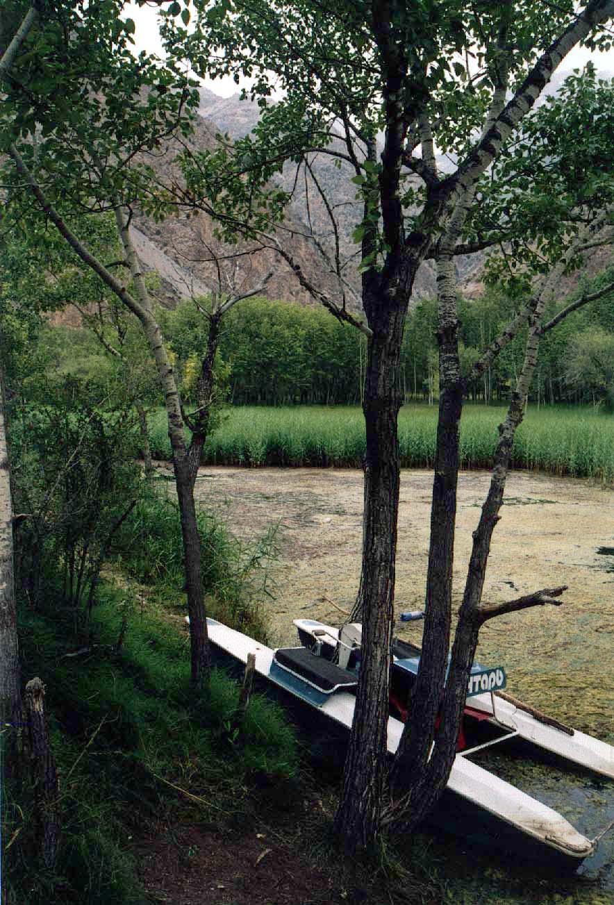
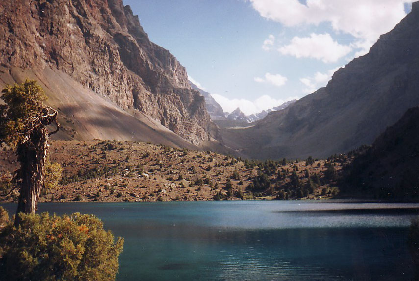
You can get there by plane – to Uzbekistan – Tashkent – and further moving to Samarkand, or directly to Samarkand, or to Tadzhikistan – Khudgant (former Leninabad) or to Dushanbe. It is also possible to get to Tashkent or Samarkand by train (electric train, motor transport), and they have already repaired railway communication between Moscow and Dushanbe . Further only motor transport can be taken. From Samarkand by any local transport you get to the boundary, the boundary you cross by feet, beyond the turnpike you take any Tajik transport and go to Pedzhikent (there is a market and it is possible to but any local things you want) and further to the mountains. It is also possible to get to Pedzhikent from Dushanbe and from Khudgant. At any case you will find yourself at the road Pedzhikent – Aini – Dushanbe , from which you can go to different parts of the region, in order to carry necessary food and equipment to special point of the route or to the beginning of the route. Using motor transport or foot marches it is possible to carry and hide equipment and provisions in 3-5 days almost all around the region, that we did in the year 2000. Now we'll go from Pedzhikent further along the road to Dushanbe . Straight from the city you can ride along the road to Marguzorskie lakes, at least, to kishlak Shing. In the kishlak the consequences of giant torrent that destroyed a part of the settlement and created large space where nothing grow, have been present yet. The road goes further and even small buses can ride along it, it is possible to get to kishlak Marguzor. The road is rather good. In my opinion, if it doesn't become destroyed by regular torrents that are often in the region. By the road you can see the remains of former tourist center Marguzor, destroyed by torrent. And, surely, you can see Marguzorskie lakes – they are concerned to be the most beautiful in the Fanskie Mountains . There you can also go boating. It is possible to start hikes from here, through an easy pass Tavasang on the river Sarimat and further, via the upper course of the river Shing, passing through the Gissarsky range to the south, or through the side spur to the same Sarimat, but choosing more difficult passes. There I went through the pass Sarimat the West, 2A grade of difficulty. We also tried to find the saddle of the pass Sudden (according to some other maps – Pass of Hope, Neskidanny) 2B grade of difficulty, but we didn't manage to identify it from the side of the river Sarimat (we had no deions) – we saw only rocky fence without noticeable features of saddle.
Moving by car along the road from Pedzhikent somewhere in the region of the settlement Shurcha, it is possible to turn to the valley of the river Kshut, along the road along which you can get to kishlak Gaza and further to the upper course of the river Sarimat (but, I must notice that not every driver will drive there, but a kind of jeep can pass that strip). It seems to me that there is road along the river Archamaidan, but I don't know exactly, where it ends. In 15- 20 kilometers from Gaza t is possible to turn to Kulikalonskie lakes and get to the former alpinistic center Artuch, located in 10 kilometers from Madovra along the river Urech. Further along the road, after Aini, it is possible to get to the branch leading to the valley of the river Pasrudaria, approaching along which you can get off from the car in different places, starting hikes along right confluents of this river. The most wide-spread start is way along the valley of the river Imat to the glacier Imat, or along the rivers Suhrob, Zheltaya. Further you can come to the confluent Bodhona (to the passes Talbas 1A grade of difficulty, the saddle of Chapdara, 3B grade of difficulty). The road ends on the alpinistic base “Alautdin-Vertical”. Due to the forces of the base, the upper strip of the road is kept up in working condition otherwise it could become destroyed years ago.
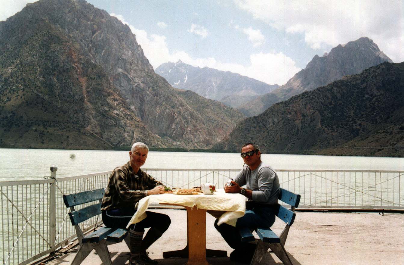
Moving from Aini further to the south, you will find a good asphalt branch to the valley of the river Iskanderkul, along the road along which you can get at least to the lake Iskanderkul and to the tourist center of the same name. Not very good road goes further, to the president residence, to mines, and in the direction of the Saritag (where it ends). Farther along the road to Dushanbe there are several perspective, but scantily investigated confluents to the Gissarsky range (not long ago one group was there, it passed the pass of 2B grade of difficulty in the region of the peak Gaznok). And no coming to the pass Anzob, you can turn along the valley of the river Jagnob to the East, coming to the Jagnobskaya wall – Zamin-Karor.
Beyond the Anzobsky pass the most popular place for starting the routes and the most famous region of ascents if the valley of the river Siama. It is better to learn beforehand that on the bridge across the river Varzob, on the entrance to the valley of the river Siama, metallic gates of about 4 meters high are placed, through which is impossible to pass late in the evening – they don't open them. The locals say that a plant of producing mineral or aerated waters (something like coca-cola and other). And without the leaders of the plant they can not open the gates. On the river Varzob, in a kilometer from the place of conjunction with the river Siama, there was alpinist center “Varzob”. From Dushanbe , along another road, t is possible to get to the southern slopes of the Gissarsky range (for example, along the river Karatag). Thus, real and the most comfortable variants for starting tourist routes are: Marguzorskie lakes, the basin of the river Kshtut (Zindon, Sarimat, Archamaidan, Kulikalonskie lakes), Alautdinskie lakes, Iskanderkul, river Siama.
Infrastructure. It is possible to speak about what was there, but does it have any sense? So, we'll speak about what have remained. Alpinist center “Varzob” practically stopped its existence, and as alpinistic center – for good.
We started the route there in 2003 and there was not even electricity. Swimming pool was destroyed, houses were ransacked. But, on the other hand, local manager of a household – he was guard at the same time – said that it was planned to reconstruct the base as a recreation centre. Tourist base “Iskanderkul”. There desolation had already stopped. There are houses, for 2-3 dollars per person, feeding, very cheaply, billiard, table tennis, and it is possible to bathe there. Bath there is bad, “conveniences” outdoor there is one more bath, better one, on the weather station. Generally speaking, there is no problem to res, to take bath, and to leave things. We liked that place.
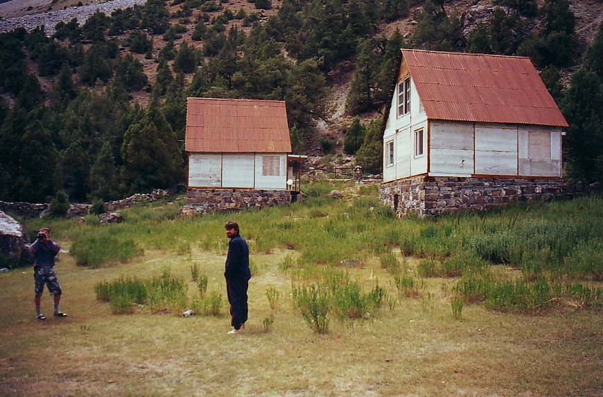
International Alpinistic-Tourist Center “Vertical-Alautdin”. In fact, it is formation of post-soviet period, though it had begun to be built in the time of Soviet Union .
As alpinist base, this center is the only in the region. Under the aegis of the Center every year the Alpinistic Championship of CIS is hold. Here you can find all you need. Including the deions of the routes in the region. I regularly used the service, produced by “Vertical” (and plan to use it in future), including for approaching to the region. It can be more expensive, but with less problems and it economizes the time. Former Alpinist Center “ Artuch ”. I have never been there . According to the deions, situation there is like the situation in “Iskanderkul” – it means, there is the recreation base for the locals (people who live in Dushanbe go to Iskanderkul to spend week-ends, most of all). At any case, it is possible to stay there and to have rest in houses with feeding.
|
| Поделиться ссылкой |
|
|
| © 1999-2007 Mountain.RU Mail to: info@mountain.ru |
|