
|
|
|
|
|
|
Mountain photos - amateur
and professional photos of mountains.
|
| Climb > |
|
Author
Budyansky Michael, Moscow
Mountains Fanskie Part 2 (Part 1)
3.3. Local tax fee Till now there is the regulation of National Company Tadzhikturizm, which nowadays is called Sayox, about local tax fee for visiting area of Fanskie Mountains. According regulation, officially each tourist from Russia and the countries CIS should pay: 25 dollars for person - for visiting of the area and 0.5 dollars for person in a day - ecological gathering. We every year try to reduce these sums at least at the official level, but it is not possible to solve this problem completely. Usually they try to take this payment from groups in Pendzhikent. However for some years we have an arrangement, that the payment is collected from groups in mountains, on "Alaudin". I have to specify that these gathering are NOT collected with "Vertical" or its representative, bur the official representative of the National Company. In addition the local administration of Ayininsky area in which territory Fans are also settled down, collects own tax fee for using local natural resources. As to say easier - the local timber enterprise established certain sums, which they gather from groups on a place. The sums each time is vary and can be discussed right on a place with the head of the group. 3.4. Local population Here are all things simple. In Asia especially, the locals are very sociable, hospitable, kind and smile. If you call on them, a tea and a flat cake, at least, is always provided to you. Though they live extremely poorly. It is possible and it is necessary to be friends with them. We call everyone who goes in Fans, to help them as you can. Every year we collect from our cases - mezzanines some clothes, footwear from which our children and we have grown, medicines, books and other things. Especially locals require in warm clothes and rubber footwear in which they go practically the whole year. Near "Alaudin" there is a refuge where shepherds live in the summer with all their families. You can buy milk, cheese, and flat cakes at them. It helps them to hold on too. Certainly, the children can behave like hooligan little, but it is not strong also even cheerfully. 4. Mountaineering Camp "Alaudin"
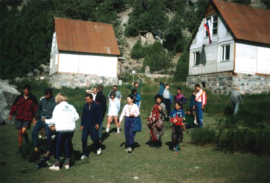
In famous 1991 year the Moscow Company "Vertical" put in pawn bases of new camp in Fanskie Mountains on a glade near the refuge below the Great Alaudinskoe Lake. It was pondered as a high-grade camp of rest in mountains, with an infrastructure, a restaurant, etc. In connection with well-known events, the construction was delayed for some years and we had to correct the project reducing it up to a possible minimum. In 1995 the Camp accepted the first clients - the Japanese climbers who with pleasure stayed there for 20 days, ascending only on three instead of ten planned tops. On a question - " Why? " They reasonably answered: "And what for? Here it is very-very good for us!" At present on the Camp, which we named International Mountaineering-tourist Center "Alaudin", there are:
We suggest:
In our plans there is a building of mini – hydro-electric power-station. Every year we help a local collective farm at own expense to clean the road and to repair bridges, which always are brought away at high waters. "Alaudin" is located very conveniently both for ascending, and for carrying out of campaigns.
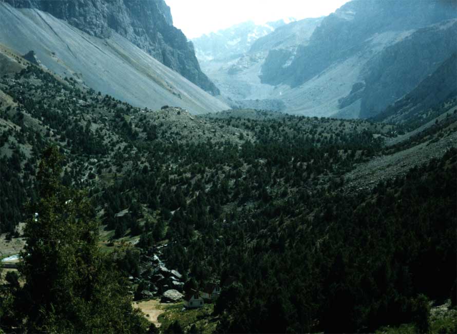
"Alaudin" is located in a valley of the Chapdara River. It is the right inflow of the Pasrud River, in 30 mines of trekking downward from the Great Alaudinskoe Lake, exact under the Alaudin top. From the Camp "Alaudin":
The larger map of the valley of Chapdara river here So, being based on IMTC "Alaudin", you can practically go on 70 % of routes of the area. We usually settle the Base Camps:
Ecology. There was the time when Mountains Fanskie were very popular area for ascents, carrying out of campaigns, and even for carrying out of trade-union campaigns on easy routes. I remember the times when a note on cols handing, instead of being hidden in the cairn! For all those years there have been accumulated a lot of tins in mountains. These mountains of tins are not simply spoil a kind, and are not simply unpleasant - they are as a silent reproach, as a shame to all of us! Each season we ask climbers at their descending to collect certain amount of the tins which can will be placed in their backpacks and to bring it in the camp, to help to clear these fine mountains. Then we bring these tins downward where they can be utilized. Unfortunately, the local authorities do not want to be engaged in this, and in the near future will not be. We call everyone who will arrive in Fans (actually, it can concerns not only to Fans), feasibly to help with cleaning long-term heaps of tins and other garbage. And not leaving the dust after yourself, now to speak and warn is somehow indecently, so it became normal for our generation of climbers and tourists travelling in the Alpes, the Himalayas, Pyrenees and also Andes and Cordilleras and seeing the attitude to the nature in these areas. Unfortunately, we don't have particularly the descriptions of all climbing and tourist routes in digital. For acquaintance with detailed descriptions you have to address in special libraries (where they are still accessible). Below I shall give a brief information on opportunities of the area, some photos and Internet references, where you can find some descriptions of routes of ascents and campaigns.
5.1. Tops
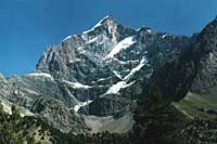
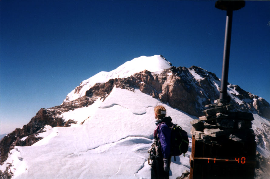
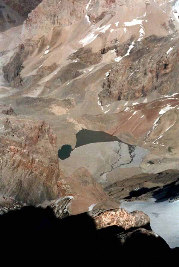
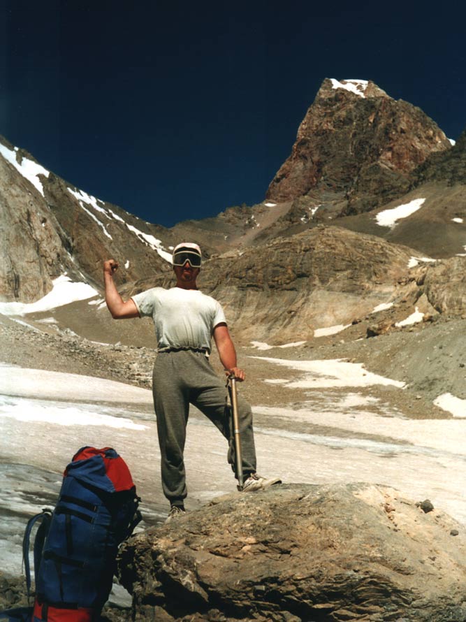
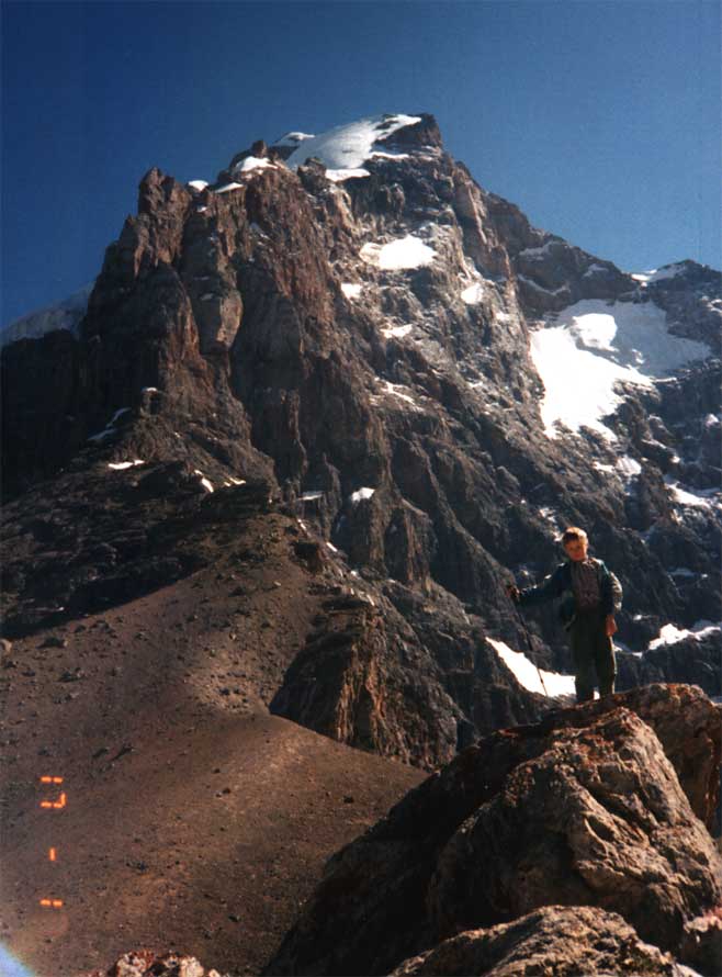
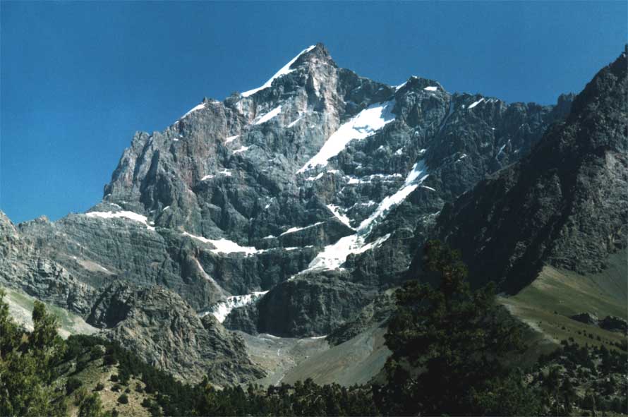
5.1.1. The highest point of mountains Fanskie is beauty Chimtarga, 5487m. There is a simple classical route on Chimtarga (2Ą), which starts from Mutnyie lakes and goes through the Avlodon Col (3Į*, but it is unilateral and it is climbed on the simple side, on simple foots, and further on the ridge of Kulikalonskaya Wall through Mirali Peak and on a snow dome to the top. The route is perfectly seen on a photo. On this the photo are visible also the other routes on east slopes of Chimtarga. They are schematically given at Vladimir Kopylov’s
site: On a photo you can see the Chimtarga Col, 4600m, and a southern slope of Chimtarga. Schematically at Kopylov's site: Some photos of Chimtarga:
Unfortunately I has not found a photo of Chimtarga from the West (from Big Hallo Lake). If someone has got it - send me, please.
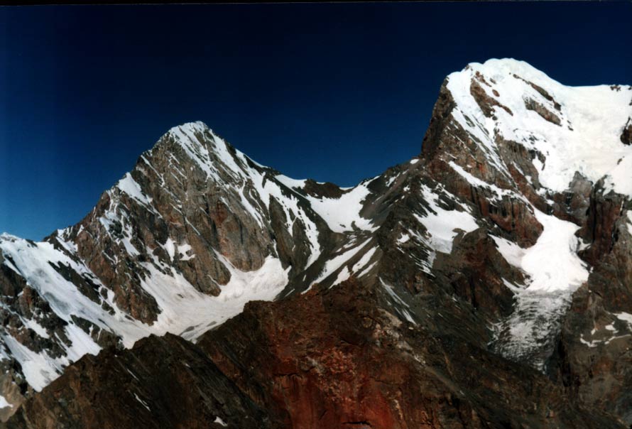
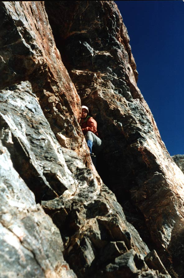
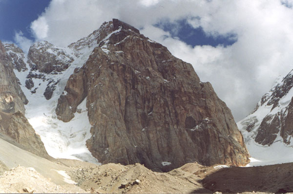
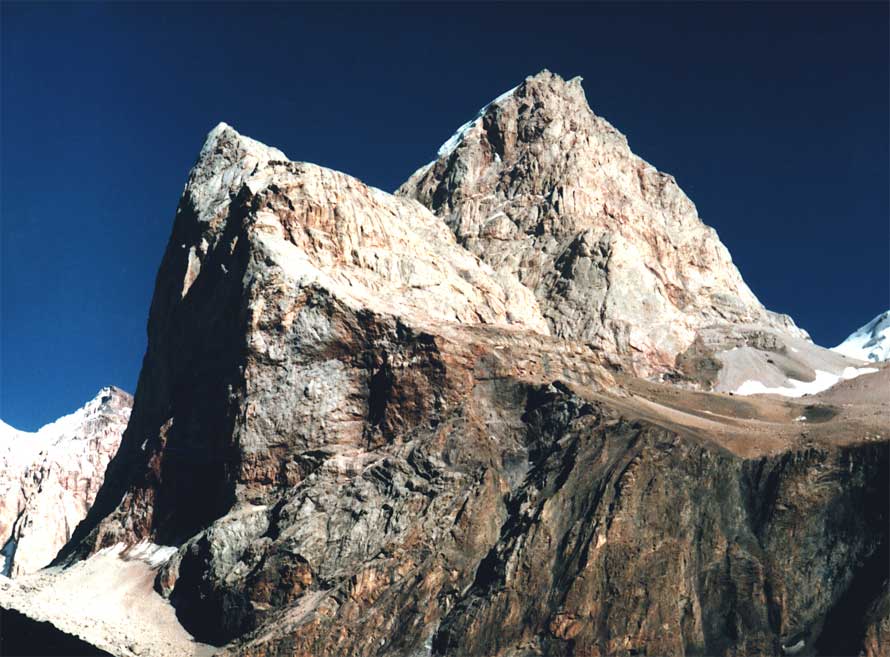
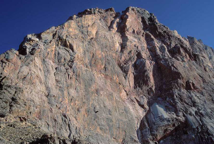
5.1.2 Mt. Chapdara, 5050m Simple routes is not present there. The most simple route passes on the Northern ridge from the Talbas Col. Due to the characteristic needle reminding the Sphynx in profile, this route was named "Sphynx", 5Ą. But in a fullface the top part reminds a frog very much. The North-West Wall is well-known for one of the most complex routes in the area - Solonika, 6B, through a "book". The Topo at Kopylov: The North-East Wall of Chapdara represents 1500m verticals, there are routes of 5B-6A here. The Topo at Kopylov:
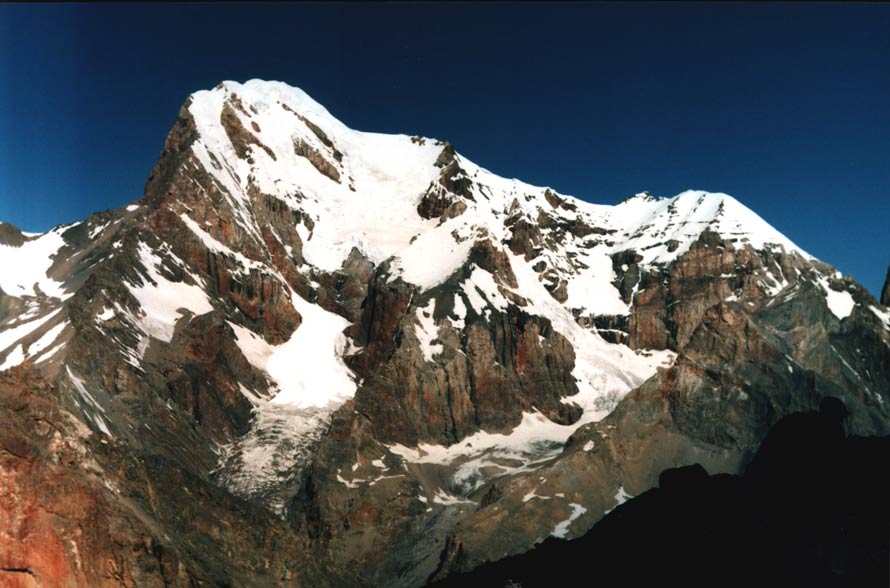
5.1.3 Bodkhona, 5138m.
There aren't simple routes too. The Western Face - a bastion in height of 1000m, towering above Bodkhona glacier is most interesting and attractive. Here exactly there are the routes of 6-grade. For an ascent on the Western Wall you have to go from "Alaudin" beforehand on a glacier (about 2 hours with a cargo) and to settle a base camp on a glacier in a safe place. The Topo at Kopylov: I don't have any data about the North wall.
Photo:
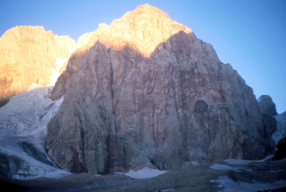
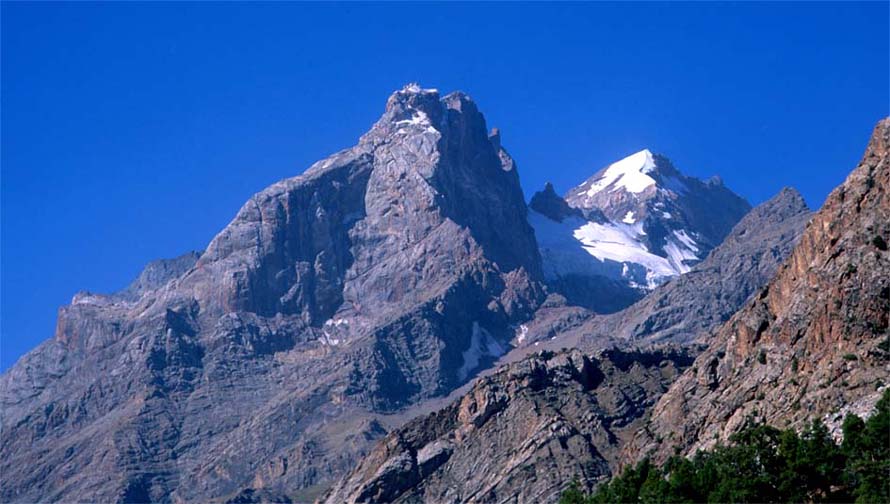
5.1.4. Zamok, 5070m
It is one of few tops having a simple ascending route, a fine variant for acclimatization. The approach under the route begins from Mutnyie lakes on a talus and a conglomerate under a glacier, then on a glacier with overcoming a simple bergschrund before an exit on a summit ridge. The ridge so is wide, and longer, that reminds a football field.
The Western Wall extends on a kilometer and looks aside Mutnyie lakes. It is an object of pleasant climbing on warm rocks. The Topo at Kopylov: Northern and northeast slopes form gorge together with western Wall of Bodkhona. There are the routes of 5-grade going on diretissima. The Topo at Kopylov: The most complex route 6Ą passes on the Wall of Parandas with the following traverse to the Northern Ridge of Zamok.
5.1.2-3-4 Look at a photo on the left: all three most complex 5000- mountains in Fans together.
5.1.5. Kulikalonskaya Wall
It is the Wall from the big letter. The Northern orientation defines its character. It is always cold; it is crossed with hanging glaciers, increasing complexity of ascending routes going to Mirali Peak practically vertically. And the route on a left edge was done by American Law and it is a route of ascending on Avlodon Col, 3Į*, gone by tourists only once. Kopylov's Topo:
5.1.6 Energy, 5120m The simplest route begins with Chimtarga Col and passes on northern ridge, 2Ą.
5.1.7. Adamtash, 4700m You can constantly see the rocky tower of Adamtash staying at "Alaudin" and it becomes a habitual view here. The classical route (4B) begins from Adamtash Col which you can ascend climbing from a small lake Piala for one and a half hour and then the route passes on Northern ridge.
Kopylov's Topo: The Northwest face with its vertical site extended on a kilometer presents more interest. There are two routes of 6-grade. Kopylov's Topo:
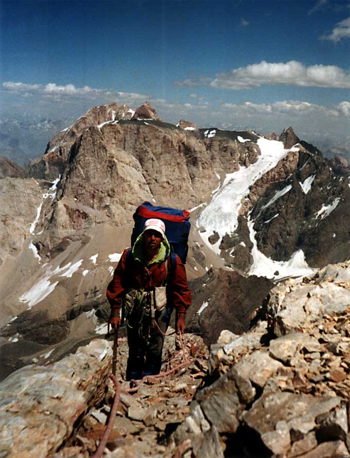
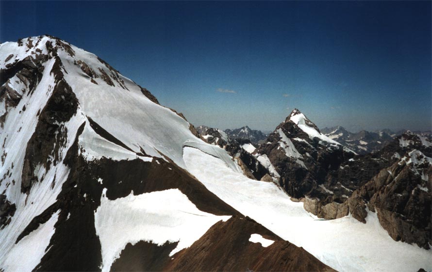
A Panorama of 5000-mountains taken off from the top of Chimtarga:
It is not full list of all tops and routes. More than two hundred routes it is gone, and probably no fewer routes wait for their pioneers. 5.2. Cols Here I do not have opportunity to describe all cols, which are gone in Fanskie Mountains. A lot of them are from non-graded up to the most complicated 3B. Accordingly, in Fans it is possible to construct the routes of sports hikes of any complexity. The most popular cols:
There are also a lot of other variants, which are impossible to list all here. To tell the truth because of the compactness of area sometimes you have to artificial extend a route of a campaign for setting necessary kilometers. However, If you pay attention of technical complexity of Cols, Fans in this sense is simply ideal place for carrying out campaigns of all categories. Unfortunately, on the Internet there are not enough reports on expeditions in Fanskie Mountains. But I tried also to give sufficient impression and the information on tourist opportunities in this area. Come in Fans! They are waiting for you! Come: |
| © 1999-2007 Mountain.RU Mail to: info@mountain.ru |
|


